V pondělí 16. září 2024 začala naše další
nová soutěž o nejlepší webovou stránku !!
Proto neváhejte a začněte rychle soutěžit o lákavé ceny !!
nová soutěž o nejlepší webovou stránku !!
Proto neváhejte a začněte rychle soutěžit o lákavé ceny !!
Soubor:Kingdom of the Netherlands in its region.png
Z Multimediaexpo.cz
(Rozdíly mezi verzemi)
(Mapa + + pochází z Wikimedia Commons, kde má status – Creative Commons Attribution-Share Alike 3.0 Unported (autor: TUBS). Kategorie:CC fotografie Kategorie:Mapy světa PNG) |
(+ Doplnění) |
||
| Řádka 1: | Řádka 1: | ||
| - | Mapa + | + | Mapa + Deutsch: Lage des Königreich der Niederlande in der Region. |
| + | * English: Location of the Kingdom of the Netherlands in the region. | ||
| + | * Date: 6 June 2011 | ||
| + | * Author: TUBS | ||
| + | |||
| + | + pochází z Wikimedia Commons, kde má status – Creative Commons Attribution-Share Alike 3.0 Unported license. | ||
[[Kategorie:CC fotografie]] | [[Kategorie:CC fotografie]] | ||
[[Kategorie:Mapy světa PNG]] | [[Kategorie:Mapy světa PNG]] | ||
| + | [[Kategorie:Maps of the Netherlands]] | ||
Aktuální verze z 6. 7. 2017, 23:36
Mapa + Deutsch: Lage des Königreich der Niederlande in der Region.
- English: Location of the Kingdom of the Netherlands in the region.
- Date: 6 June 2011
- Author: TUBS
+ pochází z Wikimedia Commons, kde má status – Creative Commons Attribution-Share Alike 3.0 Unported license.
Historie souboru
Kliknutím na datum a čas se zobrazí tehdejší verze souboru.
| Datum a čas | Náhled | Rozměry | Uživatel | Komentář | |
|---|---|---|---|---|---|
| současná | 14. 5. 2013, 21:06 | 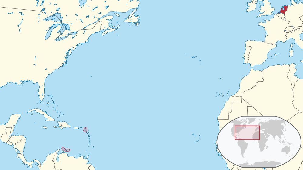 | 1 000×563 (138 kB) | Sysop (diskuse | příspěvky) | (Mapa + + pochází z Wikimedia Commons, kde má status – Creative Commons Attribution-Share Alike 3.0 Unported (autor: TUBS). Kategorie:CC fotografie Kategorie:Mapy světa PNG) |
- Editovat tento soubor v externím programu (Více informací najdete v nápovědě pro nastavení.)
Odkazy na soubor
Na soubor odkazuje tato stránka:


