V pondělí 16. září 2024 začala naše další
nová soutěž o nejlepší webovou stránku !!
Proto neváhejte a začněte rychle soutěžit o lákavé ceny !!
nová soutěž o nejlepší webovou stránku !!
Proto neváhejte a začněte rychle soutěžit o lákavé ceny !!
Soubor:Santa Fe sat map.jpg
Z Multimediaexpo.cz
(Rozdíly mezi verzemi)
(Fotografie+) |
(++) |
||
| Řádka 1: | Řádka 1: | ||
| - | Fotografie+ | + | Fotografie + Description: The raw satellite imagery shown in these images was obtain from NASA and/or the US Geological Survey. Post-processing and production by http://www.terraprints.com |
| + | * Date: 25 October 2006 | ||
| + | * Source: http://www.terraprints.com | ||
| + | * Author: http://www.terraprints.com | ||
| + | |||
| + | {{Cc-by-2.5}} | ||
Aktuální verze z 15. 11. 2021, 14:01
Fotografie + Description: The raw satellite imagery shown in these images was obtain from NASA and/or the US Geological Survey. Post-processing and production by http://www.terraprints.com
- Date: 25 October 2006
- Source: http://www.terraprints.com
- Author: http://www.terraprints.com
+ pochází z Wikimedia Commons, kde má status – This file is licensed under the Creative Commons Attribution 2.5 Generic license. (CC BY 2.5)
Historie souboru
Kliknutím na datum a čas se zobrazí tehdejší verze souboru.
| Datum a čas | Náhled | Rozměry | Uživatel | Komentář | |
|---|---|---|---|---|---|
| současná | 11. 8. 2014, 07:04 | 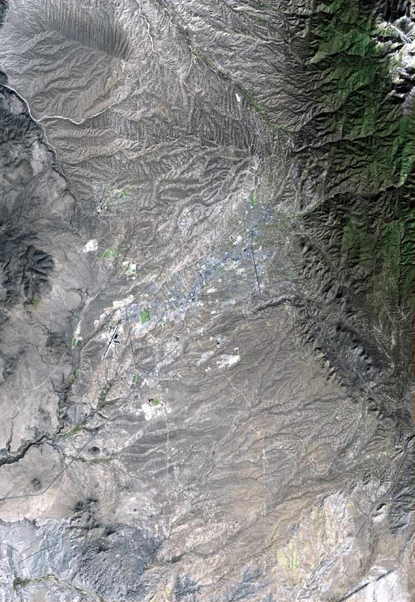 | 589×855 (345 kB) | Sysop (diskuse | příspěvky) | (Fotografie+) |
- Editovat tento soubor v externím programu (Více informací najdete v nápovědě pro nastavení.)
Odkazy na soubor
Na soubor odkazuje tato stránka:


